A short news item concerning misprinted Chicago Transit Authority (CTA) maps led me back to a pet subject of mine: the power of maps.
Granted, this seems like an accidental oversight, and one that will cost the already cash-strapped CTA quite a lot of money to correct.
Which led me to these thoughts: what would happen if they were not corrected? What would have happened if no-one noticed?
Maps have a certain air of authority to people in the modern world. It is thought that they are scientific documents, produced by professionals and they are therefore foolproof. Think about this. You look at a road atlas, transit map or whatever and you just figure that it is correct. Most people, moreover, consider that the makers of these maps have no motive other than providing correct geographical information to get you from here to there with the least amount of hassle.
On one level, this is what maps are: utilitarian documents that represent a three-dimensional reality in two dimensions for people who want more information about the territory depicted. They are, on another level, much more than this.
Think about the awesome conceptual leap that it takes to represent something on a scale and in a different dimensional framework than it is normally experienced and you'll see what I mean. A map cannot, obviously, represent territory on a 1:1 scale, so decisions must be made, items included and excluded. It is in these comissions and omissions that the deeper meaning of cartography begins to reveal itself.
In other words, what is left out of a map often tells as much about the maker and their society than what is included. Just as in music, you must listen for the silences as well as the notes.
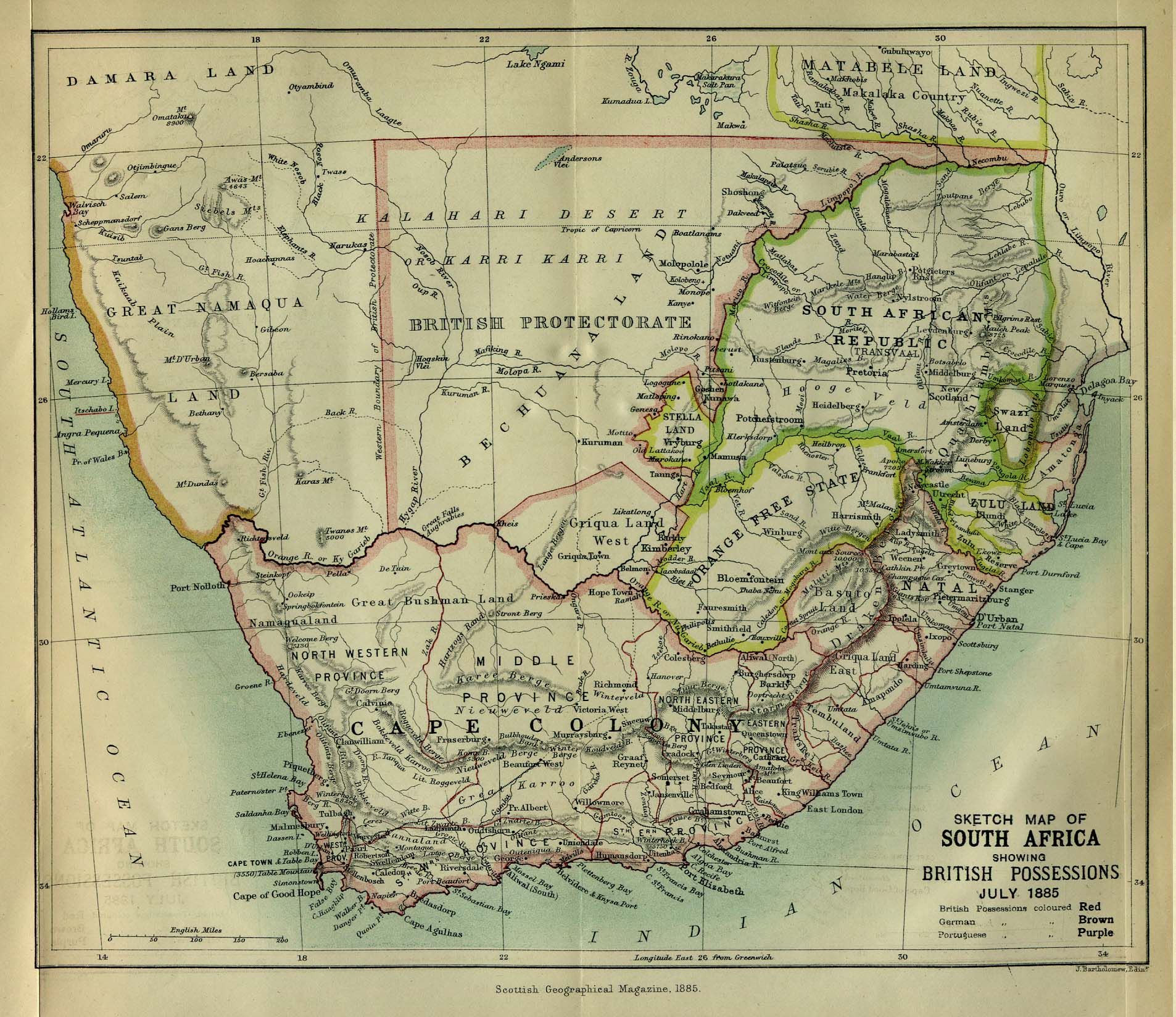
As shown by the CTA blunder, place names also carry an awesome power behind them. While this case was just a mistake (most likely), it illustrates that typonomy is important and can be a very loaded concept. One need only look at maps of "colonized" areas to see the power of place names over the understanding of the landscape for conqueror and conquered alike.
Is the case of the CTA the same as the (as some have argued) cultural genocide of place re-naming. Hardly. What it does show, however, is that maps shape understandings of territory as much as territories lead to the creation of maps of all sorts.
Am I making too much of this? Consider how we do (or don't) "think cartographically," (to use David Buisseret's words. How do our minds experience and process space? From another angle, what is it in all human cultures that leads them to express space cartographically in one way or another?
For more visual learners (and because it's more interesting), are these images maps? Why or why not?
Oh, if your answer to "am I making too much of this" was yes, you may be on to something...
Do Not Worry
6 years ago
1 comment:
Too much of it or not, I found it a bit comical that no one thought to spell check. (Coming from one in constant need of the device.)
A few years ago we drove down to Florida with our trusty old State Farm map, and found that somehow the exit numbers were off - by a lot. Not a good thing when you're 1000 miles from home in mostly uncharted territory. We bought a new one less than 20 miles in, and made SURE it was correct.
Post a Comment